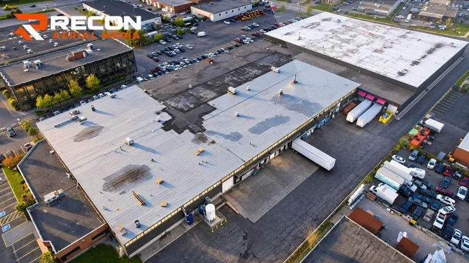
Drone Inspections
Roofs, facades, flare stacks, towers, bridges and wind turbines, inspected without lifts, scaffolding or shutdowns.
Learn more
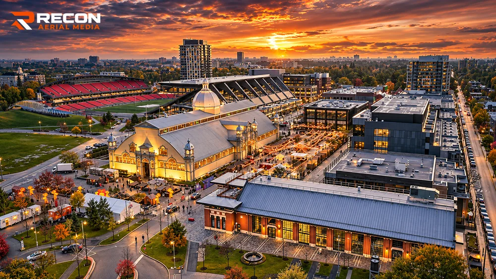
Photography, film, inspections, mapping and construction progress across Calgary and Southern Alberta, flown by Transport Canada Advanced Operations certified pilots.
Recon Aerial Media totals across Canada.
One team plans the flight, captures the data and delivers the finished product.
Recon Aerial Media is a commercial drone company providing drone services in Calgary and across Southern Alberta. We handle aerial photography and drone videography, roof and industrial drone inspections, drone mapping and surveying, and construction progress photography for builders, property owners, engineers, energy companies and municipalities.
Roofs, facades, flare stacks, towers, bridges and wind turbines, inspected without lifts, scaffolding or shutdowns.
Learn more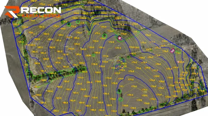
Orthomosaics, topographic surfaces, stockpile volumes and AutoCAD linework, from your site or your own drone data.
Learn more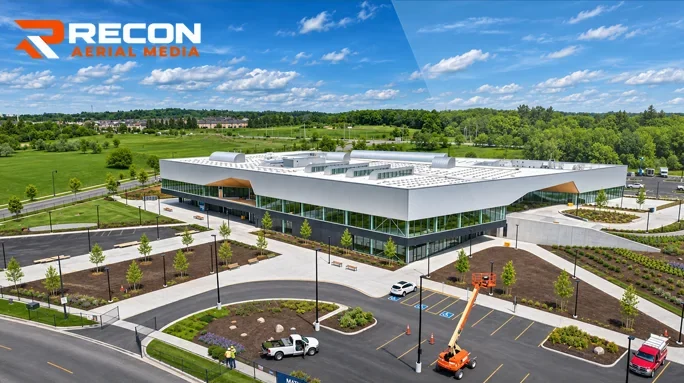
Scheduled aerial updates from the same viewpoints every visit, for owners, lenders and project teams.
Learn more
Project highlight videos, construction time-lapses, industrial films and vertical cuts for social media.
Learn more
Aerial, interior and exterior photography of properties, showrooms, offices, retail and new buildings.
Learn moreFrom our YouTube channel. Tap one to play it here.
Calgary projects come with their own challenges: controlled airspace around YYC and Springbank, Chinook winds, short winter days and busy active sites. We plan for all of it before we arrive.
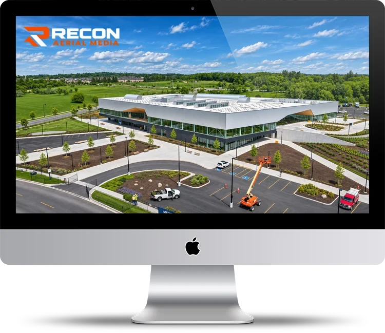
Recent Recon Aerial Media projects. Locations shown in each caption.
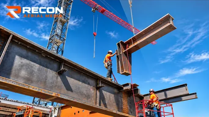
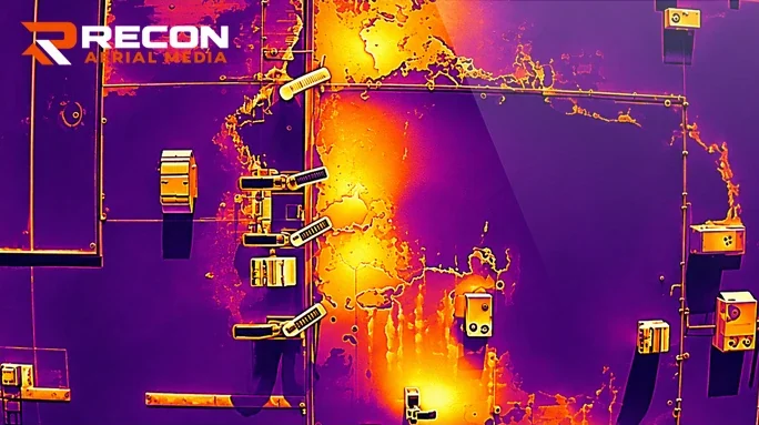
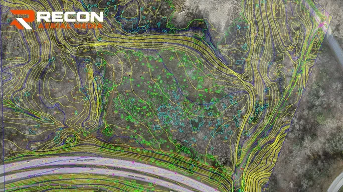

Flare stack, tank and facility inspections without shutdowns or rope access.
Progress photography, site surveys and volume reports for Calgary's growing communities.
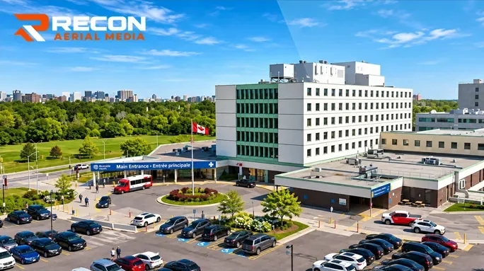
Aerial photos, film and interior photography that show a property at its best.
Bridge, road and utility documentation for municipalities and engineering firms.
Wind turbine blade and solar site inspections across Southern Alberta.
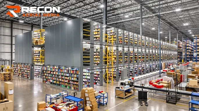
Roof and thermal inspections plus film production for plants and warehouses.
Tell us about the site, the deliverable you need and your timeline. We send back a fixed quote.
We check airspace, permits and site safety, plan the flight and coordinate access with your team.
Certified pilots capture the data or footage safely, with minimal disruption to your site.
You get processed, ready-to-use files: reports, maps, CAD, photos or edited video.
Every project gets a fixed quote. These are typical starting points.
Most projects start between $399 and $1,195 depending on the service. Basic aerial photo and video capture starts at $399, construction progress visits at $499, asset inspections at $999 and project highlight videos at $1,195. See our pricing page or ask for a fixed quote.
Much of Calgary sits inside controlled airspace around YYC and Springbank. Our pilots hold Transport Canada Advanced Operations certificates and request the NAV CANADA flight authorization needed to fly legally in controlled airspace. We handle that as part of planning.
All of Calgary plus Airdrie, Cochrane, Chestermere, Okotoks, High River, Strathmore, Canmore, Rocky View County, Foothills County and further across Southern and Central Alberta. See service areas.
It depends on the site, airspace and weather. Tell us your deadline when you request a quote and we will confirm a flight date before you book.
Usable files, not raw footage: inspection reports with annotated photos, orthomosaics and CAD linework, progress photo sets, or edited videos. Deliverables are agreed in your quote.
Tell us what you need. You'll get a fixed quote, usually within one business day.


